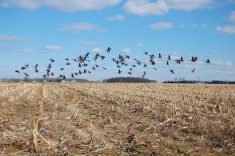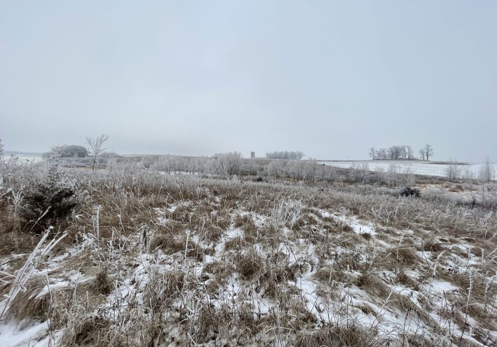
Farmers took to social media to post pictures of snow and rain as the effects of a Colorado low splashed across the Prairies.
Provincial weather stations picked up hints of moisture in southern Alberta yesterday—with about 1 mm registered at Lethbridge and the St. Mary Reservoir.
Blackie, east of High River, got 11 mm yesterday. Claresholm saw more than 9 mm of precipitation. Further north, Leedale and Rocky Mountain House saw between one and two millimeters of moisture.

In Saskatchewan, Yorkton got about 6 mm of precipitation, as per Environment and Natural Resources Canada. Saskatoon got 9 mm, while North Battleford saw just over 2 mm. Regina registered no precipitation yesterday, though at time of writing a light snow shower was reported to be falling.
The heaviest amounts of precipitation were predicted to fall on northern Saskatchewan and Manitoba, said MarketsFarm’s Bruce Burnett in a weather update this morning.

In Manitoba, Winnipeg reported more than 18 mm of precipitation yesterday, Brandon clocked just over 17 mm, and Dauphin saw nearly 23 mm of precipitation, Environment Canada said.
Precipitation over the past week has benefited a limited area of the Prairies, the bulk of which have been drier than normal over the past 30 days.
“The only region reporting a net gain in precipitation was southern Alberta and southwestern Saskatchewan. These areas have reported a net gain of 10 to 25 mm. The rest of the Prairies reported 5 to 25 mm below normal precipitation during the month,” Burnett wrote.
“The current system moving across the Prairies will add more general precipitation which will help improve topsoil moisture conditions.”
While overall soil moisture is extremely dry, topsoil moisture for seeding will be mostly adequate in the next couple weeks, Burnett added.
Read Also

Pulse Weekly: SaskPulse optimistic despite input, crop price concerns
SaskPulse executive director Carl Potts is optimistic ahead of the planting season despite lower crop prices and the war in Iran.
Yesterday, meteorologist Daniel Bezte forecasted sunny-to-partly-cloudy skies to move into Alberta on Wednesday. Manitoba can expect cloudy skies and occasional flurries into Thursday and Friday before skies finally clear.