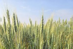

New research from the University of Saskatchewan could help improve yield data and crop health through field border mapping.
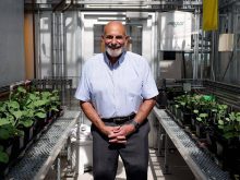
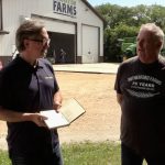
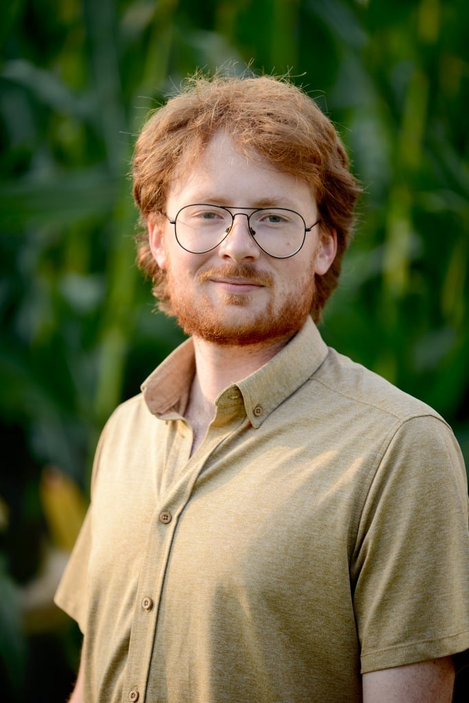
Thuan Ha, the university’s lab research officer and GIS analyst, explained the potential on-farm benefits of the upcoming research at the University’s booth at Ag In Motion, held this week near Langham, Saskatchewan.
Why it matters: Drone field mapping could help identify stressors and growing conditions in fields through border mapping
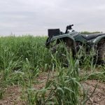
The project looks at variability across the landscape on a field scale. Drones help map individual fields by their borders, allowing for testing within the designated zones, to provide more field-specific results. This way, non-growing areas like barnyards are not included in the data.
Read Also
CBOT Weekly: Grain, oilseed futures under pressure
November soybeans lost 23 U.S. cents per bushel during the week, while corn and wheat losses ranged from five to 10 cents.
“At first, we need some field boundaries so that we know precisely where we want to process the data,” Ha said.
“From there we can do whatever we want,” he said. “Yield prediction is an example of that.”
Field productivity is another.
Researchers use drones to collect data over the growing seasons.

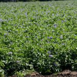
“We’ve done some projects working with crop breeding, for example,” said Ha. “We want to see how crops developed at each stage in crop development over the season.”
The system can also be used to detect harmful weeds in fields.
“We use that (to) detect kochia,” Ha said. “We start flying and then map kochia patches.”
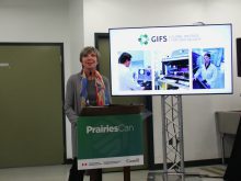
Plant science professor Steve Shirtliffe said border mapping helps provide more precise results than general mapping, as it isolates the data to designated growing areas.
Ha said the next step in this research will be to process live data results.
“We are thinking about a system … that can collect data and process live, so that we don’t have to collect data and download the data to the computer and process it, but we process it live,” he said. “That is our next step. We are building that system now.”
The initiative is part of the Nutrien Centre for Sustainable and Digital Agriculture, part of a $15 million donation made to the university in early 2025. The centre will foster collaboration between researchers, farmers and the public.
Ha said the results of the research will be made public within several months.