Once again, the weather models did a good job with the last forecast. It correctly predicted the cool weather pattern over the eastern Prairies, which did bring some light scattered frosts late last week. It also was correct about the return of warm temperatures to start this week.
Meanwhile, the western Prairies saw plenty of sunshine and warm weather for most of the forecast period. Daytime highs ranged from the low to mid-twenties with a couple of days in the upper twenties thrown in for good measure.
This forecast period starts with some upper-level ridging across the Prairies, an area of low-pressure tracking eastwards just north of the Prairies and a developing area of low pressure over the west-central U.S.
Read Also

Sigurdson applauds Alberta farmers
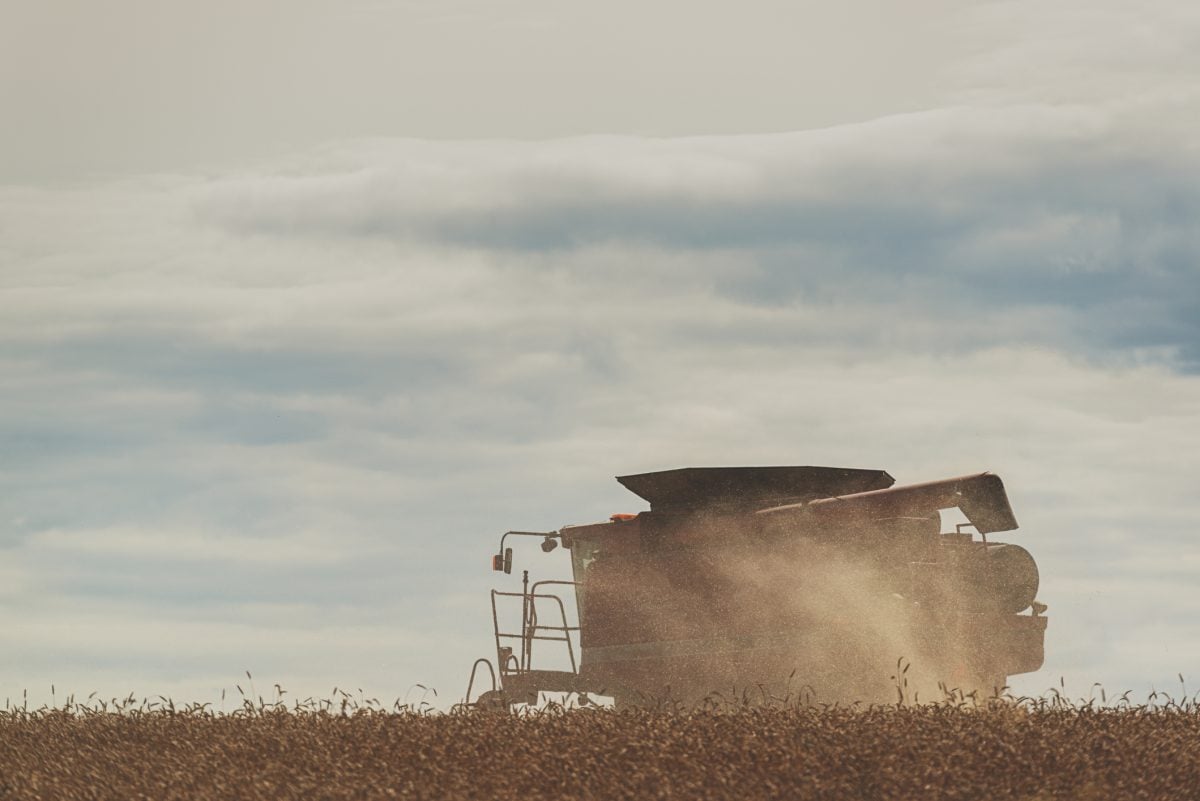
With Alberta’s harvest virtually wrapped up for 2025, provincial Agriculture Minister RJ Sigurdson offered the government’s congratulations to the province’s farmers.
While the northern low will have some impact on our weather over the next couple of days, it will be the interaction between the upper-level ridge and U.S. low that will be the main driver of our weather over the next week or so.
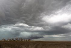
The last few runs of the main weather models showed the U.S. low slowly drifting northeastwards and ending up near the Montana-North Dakota boarder by late Thursday orearly Friday. This low will then have difficulty pushing further northeast due to the upper-level ridging across the central and northern Prairies. Exactly how the low will behave is a little uncertain at this time, but currently it looks like it will push some showers and thundershowers eastwards across Manitoba over the weekend and into the early part of next week.
At the same time, the main low will try to lift northwards, or may even drift northwestwards. This will bring some unsettled weather to Saskatchewan and then Alberta. Temperatures look to remain mild throughout this forecast period with highs in the low to mid-twenties and overnight lows in the 9 to 14 C range.
Alberta
Wednesday looks to be partly cloudy and warm as an area of low pressure passes by to the north of the province and drags a warm front through the region. The front may trigger a few scattered afternoon or early evening thundershowers.
Skies look to clear behind the front, with upper-level ridging building across the region. This will bring daytime highs in the mid to upper twenties and overnight lows falling into the low teens. Central and northern regions have the best chance of seeing the warmest temperatures.
By late in the weekend or early next week, an area of low pressure trying to move northwards out of the U.S. will begin to push clouds and moisture into the province. Expect increasing clouds with some showers developing by Monday.
Confidence in this system is low at this point, but it has the potential to bring two or three days of unsettled weather to the province. With the clouds and a northeasterly flow, temperatures will cool down to more seasonable values to end this forecast period.
Saskatchewan and Manitoba
Wednesday looks to be a really nice day across these two provinces with plenty of sunshine and warm temperatures. Expect daytime highs in the mid-twenties and overnight lows in the low teens. An area of low pressure sliding by to the north will drag a warm front across the region on Thursday and will bring partly cloudy skies with the chance of showers or thundershowers.
Best chances of precipitation will be over more northerly regions and across southern regions as moisture begins pushing in from a developing area of low pressure to the south.
Over the weekend is when things get interesting. The area of low pressure sitting south of the border will try to lift north or northeastwards but will struggle to make headway against a strong upper-level ridge over the central and northern Prairies. While this upper ridge will bring plenty of sunshine and warm temperatures to central and northern regions, the southern part of these two provinces will see some unsettled weather.
Currently the weather models show the low lifting northwards into southern Saskatchewan sometime on Friday. Over the weekend and into the early part of next week, the weather models are showing this low lifting northwestwards, then breaking down and reforming further south, before trying to lift northwestwards again. Should this pan out as forecasted, this would bring several rounds of clouds and showers across southern Saskatchewan.
Manitoba looks to miss out on most of the rainfall from this system but with moisture lifting northwards ahead of the low, the odd shower or thundershower can’t be ruled out. Temperatures across southern Saskatchewan will be near average under the cloud cover, while southern Manitoba will continue to see above average temperatures with daytime highs in the mid-twenties.