MarketsFarm — While there’s not one specific cause of the hot September the Canadian Prairies has generally been having so far, Weatherlogics chief scientist Scott Kehler notes one particular shorter-term factor.
“There is a fairly strong upper-level ridge of high pressure across the Prairies right now,” he explained, adding it should dissipate by mid-month.
The heat has been felt in all three Prairie provinces, while Saskatchewan and Manitoba have been much drier since the spring, he said.
He said he expects temperatures to moderate toward something more normal come the middle of September — “although there’s no sign of a shift to wetter weather just yet.”
Read Also
Alberta harvest wrapping up: report
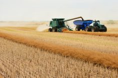
Harvest operations advanced to 96 per cent complete in Alberta as of Oct. 7, with only a few late-seeded cereal and canola fields remaining, according to the latest provincial crop report.
However, for late September there’s currently a lot of uncertainty, but the general trend should be present.
“We will be cooling off and that’s the chance we might see more precipitation return,” Kehler said.
Earlier this year, the eastern Prairies incurred much wetter conditions than normal, while the western half still dealt with last year’s severe drought.
Rains going into summer brought some respite to the latter, with crops across the region doing quite well, although somewhat behind in their development.
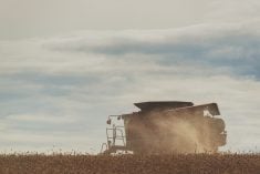
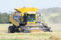
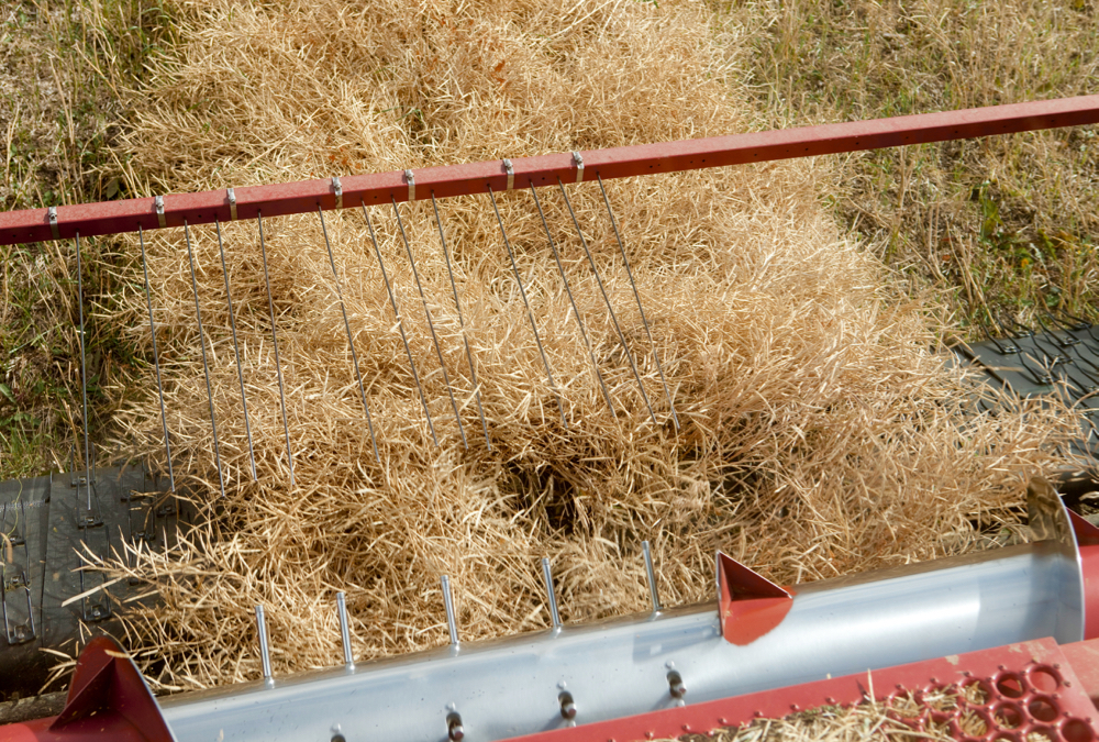
The current spate of warm weather should generate a good deal of harvest progress across the Prairies.
— Glen Hallick reports for MarketsFarm from Winnipeg.