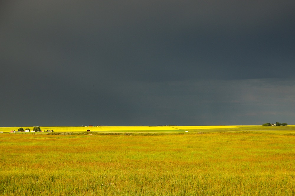
So far, the general forecast seems to be on track, but there have been some changes. The area of low pressure expected to develop and move north through Alberta is still on track but the weather models now it show it winding itself up across central and northern Alberta on Monday before it breaks apart into two lows, one moving off to the north and the other cutting across the southern Prairies.
This southern low will help to draw very warm and humid air northward to start the week, with daytime highs expected to be in the low 30s across much of southern Manitoba and Saskatchewan. Across Alberta it looks like Monday will be a soggy day as the low drifts northward. As the low pushes eastward late on Tuesday and through the day Wednesday, expect thundershowers and thunderstorms to become widespread, with the best chance of storms expected to be across southern and central Manitoba.
Read Also

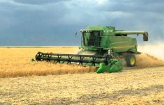
Alberta harvest wrapping up: report
Harvest operations advanced to 96 per cent complete in Alberta as of Oct. 7, with only a few late-seeded cereal and canola fields remaining, according to the latest provincial crop report.
— Daniel Bezte is a teacher by profession with a B.A. (Hon.) in geography, specializing in climatology from the University of Winnipeg. He operates a computerized weather station near Birds Hill Park, Man. Contact him via email with your questions and comments.