Floods one year, drought the next. As we’ve seen this year, it’s a fact of life for residents of southern Manitoba and Saskatchewan, but a project led by the Manitoba Forage and Grassland Association (MFGA) may help reduce the extremes.
It’s being conducted by Aquanty, a Waterloo, Ont. company that has developed a HydroGeoSphere (HGS) modelling system to measure and predict how water flows on the landscape. It’s being applied around the basin of the Assiniboine River, which starts in Saskatchewan and then runs through North Dakota and back north into Manitoba.
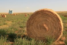
The project is focusing on the role of forages and grasslands in times of flood and drought in the area, referred to as the Assiniboine River Basin (ARB).
“As a decision-support tool, the MFGA Aquanty Project model will provide farmers, ranchers, land managers and government agencies with the ability to make informed decisions around forages and grasslands by putting these grasses into modelling scenarios that will provide the most benefits to society,” says MFGA chair Dave Koslowsky who, along with wife Rhonda and family, runs a mixed farm near Killarney, Man.

Koslowsky says the project can provide benefits for both rural and urban residents in the ARB, including in towns and cities such as Virden, Brandon and Estevan, which have had severe flooding in recent years.
Tracking water flows
The project model will help decision-makers to understand the relationship between surface water, groundwater and soil moisture. It will model several land use scenarios under varying degrees of grass and forage cover and climate scenarios such as the 2008-09 and 2011 and 2014 floods.
Project manager Henry Nelson says the intention is to demonstrate how forages can mitigate both droughts and floods.
“Forages and grasslands offer more overland flow resistance as well as greater infiltration capacity, which can help buffer the hydrologic impact of flood events,” says Nelson, whose family farm skirts the banks of the Assiniboine River near Portage la Prairie, Man.
Read Also
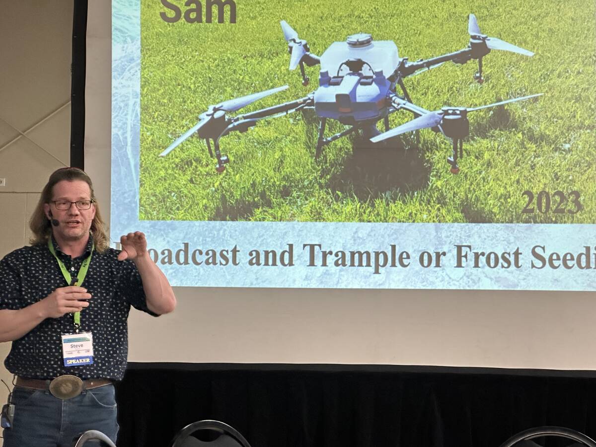
Alberta rancher uses drones to seed thousands of acres of pasture
Steve Kenyon started with a camera drone for social media but now aerial-seeds thousands of acres for himself and customers.
“When it comes to flood and drought preparations, we want to slow it, hold it or store it and the soil and grasses play a direct role in all those happening and the MFGA Aquanty model will help us all make decisions that utilize what grasslands and forage crops we have, where we can and should add, and stress what we need to keep across the ARB,” says Nelson.
Aquanty’s lead scientist Steve Frey says the development of the HydroGeoSphere simulation platform began in the early 1990s at the University of Waterloo. He says the wide range of weather in the Assiniboine River Basin, including snow accumulation and freezing and thawing, is a perfect fit for the model.
Frey says five HGS models will be constructed, including one of over 150,000 square kilometres for the whole basin plus smaller ones for watersheds in the basin.
“This allows hydrologic information to be translated across multiple models so that small-scale, very highly resolved simulations can reflect the influence of large-scale regional hydrologic processes, such as groundwater flows or widespread snowmelt or precipitation events.”
This will mean enormous amounts of data, hence the participation of ISM Canada (an IBM company) based out of Regina, to develop the public usability and access to the model.
“ISM’s advanced data analytics and visualization tools will be used to interpret output from the HGS models, and the simulations will be run on an IBM cloud-based high-performance computing platform,” says Travis Juffinger, a consultant with ISM. “The combination of advanced data management technology provided by IBM and state-of-the-art water resources simulation science provided by HGS will result in a decision support tool for the Assiniboine River Basin that is best-in-class at a global level.”
Marketing to users
The next step is marketing of the Aquanty model licence to users. A key feature is the collaboration it has already received from the MFGA project steering committee, made up of members of potential user groups. The members are kept up to speed on the project’s progress via regular meetings and report back to their respective organizations.
A key ally is the Assiniboine River Basin Initiative (ARBI), made up of representatives of the three jurisdictions through which the river flows. ARBI chair Dr. Allan Preston serves as co-chair on the project management team and steering committee.
As the project proponent, MFGA will hold one of two licences — AAFC’s AgriRisk Inititiatives is the other — and will co-ordinate user groups that purchase the rights to use the model. MFGA wants to make the licence accessible to as many groups as possible and is working on a fee schedule based on use potential and agency size. Koslowsky says that as a non-profit producer-led group, MFGA’s interests are in making the decision support tool as widely available as possible.
“We are farmers and producers and we know how we all feel about user fees,” says Koslowsky.
He says the Aquanty model can help farmers decide how to prepare their own land for drought and flood and where to plant forages. But “where the model thrives is in the aggregate groups of farmers who bring forward their wants and wishes to conservation districts, water stewardship groups or rural municipalities.”
Koslowsky sees the further potential to have these groups bundle their interests and approach other departments and agencies on a unified front. The bigger the agency, he says, the more land and the more citizens they represent.
“When the model is being run with the largest land base and greatest benefit to the populace as a foundation, this is where the model can shine the brightest and provide the most impactful scenarios for the ARB,” says Koslowsky.
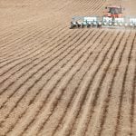
“We are not trying to replace annual cropping by any stretch. But these operations also flood and need water too. This model represents the common ground we’ve all been searching for as a solution from our ag lands. We are a producer-led group bringing a solution to producers provided by producers.”
Funding for the MFGA’s Aquanty Project is chiefly provided by an Agriculture and Agri-Food Canada AgriRisk Initiatives (ARI) Program — Research and Development Stream funding commitment of $1,145,800 and Manitoba Agriculture’s commitment of $180,000 to the two-year project. The remainder of the $1,732,300 total project funding will be provided by partners and supporters via a combination of in-kind and cash contributions.
This article first appeared in the fall 2017 issue of the Forage & Grassland Guide.