In a bid to bring its eye-in-the-sky views of clients’ fields closer to Earth, Monsanto’s Climate Corp. has struck up a partnership with a Canadian drone data provider.
Climate on Nov. 15 announced an “official” partnership with Toronto-based Deveron UAS, which operates a fleet of drones serving farm clients across North America, to deliver “advanced” aerial imagery data to its customers.
The two companies, during the 2017 growing season, ran a pilot program in Ontario, allowing Climate’s client farmers there to use Deveron drones’ imagery within their Climate FieldView accounts.
Read Also
Alberta Crop Report: Harvest reaches completion
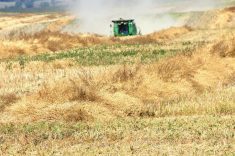
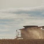
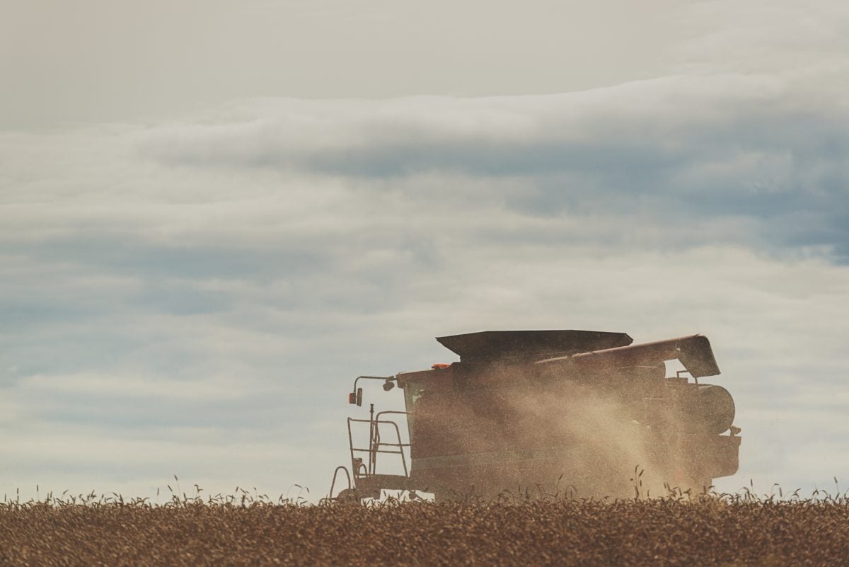
Alberta’s harvest is virtually complete at 99.4 per cent finished, ahead of the five-year and 10-year averages at this time of the season.
For the 2018 season, the companies said, Deveron will provide Climate with aerial imagery data it can then flow “seamlessly” into a Climate FieldView account at the farmer’s request, allowing for “deeper” analysis of how the farmer’s crops are performing in-season, alongside other data layers such as planting and yield data.
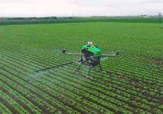
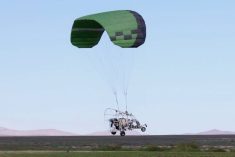
Where Climate Corp.’s Climate FieldView platform uses satellite imagery tools to identify issues in a client’s field, Deveron’s drones can provide higher resolution and frequency than satellites, the companies said.
Data from Deveron drones’ lower-level flights “can be used in digital ag tools to help farmers make more informed, data-driven agronomic decisions,” they said.
Climate in January announced beta testing of its Climate FieldView platform in Western Canada during 2017, with a launch to follow later in the year. In Eastern Canada, the FieldView platform is already in use on almost a million acres, the company said.
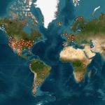
Deveron today offers its services in “core” growing regions of Canada, having expanded its reach from Ontario eastward into Quebec and New Brunswick and westward this year into the three Prairie provinces.
The company also plans to spread its catchment into the U.S. Corn Belt in the “near term,” operating already in Illinois, Indiana, Iowa, Kansas, Minnesota, Missouri, Nebraska, Ohio and South Dakota.
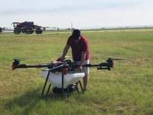
The Toronto firm announced in May it had become one of the first companies in Canada to receive “compliant operator” status under its federal special flight operations certificate (SFOC), using the SenseFly eBee UAV (unmanned airborne vehicle) system.
Since then, the company has set up partnership agreements to provide drone data to Growmark’s agronomy services arm FS Partners and to vegetable processor Bonduelle, among others.
“Partnering with the Climate FieldView platform will further our ability to bring low cost, high-resolution imagery to more farmers so they can zero in on exactly what’s happening in their fields and gain actionable insights to help them achieve the highest return on investment,” Deveron CEO David MacMillan said in the companies’ release.
“As remote sensing through advanced imagery continues its fast-paced development, drones are increasingly playing an important role to help farmers gain deeper insights into crop performance at scale,” Mark Young, chief technology officer for Climate Corp., said in the same release.
“Deveron has built a broad network of drones and sensors across North America to provide farmers with more data solutions to manage field variability, and we look forward to working with them to equip more farmers with data-rich imagery insights to make the best decisions for their operations.” — AGCanada.com Network