Manitoba has significantly raised the risk of spring flooding in its Red River Valley, follow “recent precipitation events south of the border.”
Manitoba Transportation and Infrastructure’s Hydrologic Forecast Centre on Wednesday projected a major risk of flooding on the Red River and low to moderate risk of flooding in most Manitoba basins in its March spring outlook. Spring flood risk largely depends on weather conditions from now until the spring melt.
At this time, the centre advises that the flood risk has increased to major on the Red River. The flood risk is low to moderate in the Interlake region along the Fisher and Icelandic rivers, and along the Assiniboine River. The risk of spring flooding is generally low along several other rivers including the Souris, Roseau, Rat and Pembina rivers. Water levels are expected to remain below community and individual flood protection levels.
Read Also
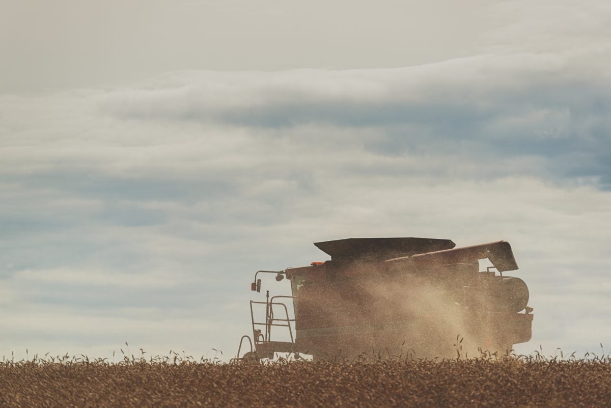
Manitoba Crop Report: Harvest advances despite heavy rains
Despite heavy rains in much of the province, Manitoba’s harvest advanced to 86 per cent complete as of Oct. 6, 2025.
There is also a low risk of flooding for most other Manitoba basins including the Saskatchewan River, Whiteshell lakes area and northern Manitoba. With the exceptions of Dauphin Lake and Lake St. Martin, most Manitoba lakes, including Lake Winnipeg and Lake Manitoba, are projected to remain within operating ranges after the spring run-off.
As in many other years, the risk of flooding could change in any of the basins depending on weather conditions between now and the spring melt.
A contractor for Manitoba Transportation and Infrastructure has completed ice-cutting and breaking work along the Red and Icelandic rivers to reduce ice jam-related flooding. Ice-cutting and breaking work were not undertaken this spring on the Assiniboine River, along the Portage Diversion, due to a lower risk of ice jam-related flooding.
The centre also reports that operation of the Red River Floodway is expected this spring to reduce water levels within Winnipeg. Operation of the Portage Diversion is also anticipated to prevent ice jamming on the Assiniboine River east of Portage la Prairie and control river levels in Winnipeg and areas along the Assiniboine River downstream of Portage la Prairie.
The province, local authorities and First Nation communities are continuing to prepare for spring flooding. This includes ice-cutting and breaking on the Red and Icelandic rivers, review of existing emergency response plans, information sharing, and preparation of resources used in flood response.
The March 2023 spring flood outlook report is available online.