Forecast issued October 29, covering Oct. 29 to Nov. 5, 2025
Highlights:
- A weak Pacific low seems set to dominate the weather this week, which may bring a mix of rain and snow.
- Alberta should see a warmer weekend before colder air moves in.
- Central Saskatchewan and southern Manitoba see a chance of showers or flurries late this week.
Overview
I can’t say last week’s forecast played out exactly as expected — but that’s not too surprising. Overall confidence was on the low side. While the models did a decent job with the big picture, a few smaller details didn’t line up. Still, the general pattern behaved much as expected, though a touch of luck may have helped.
Read Also

Sigurdson applauds Alberta farmers
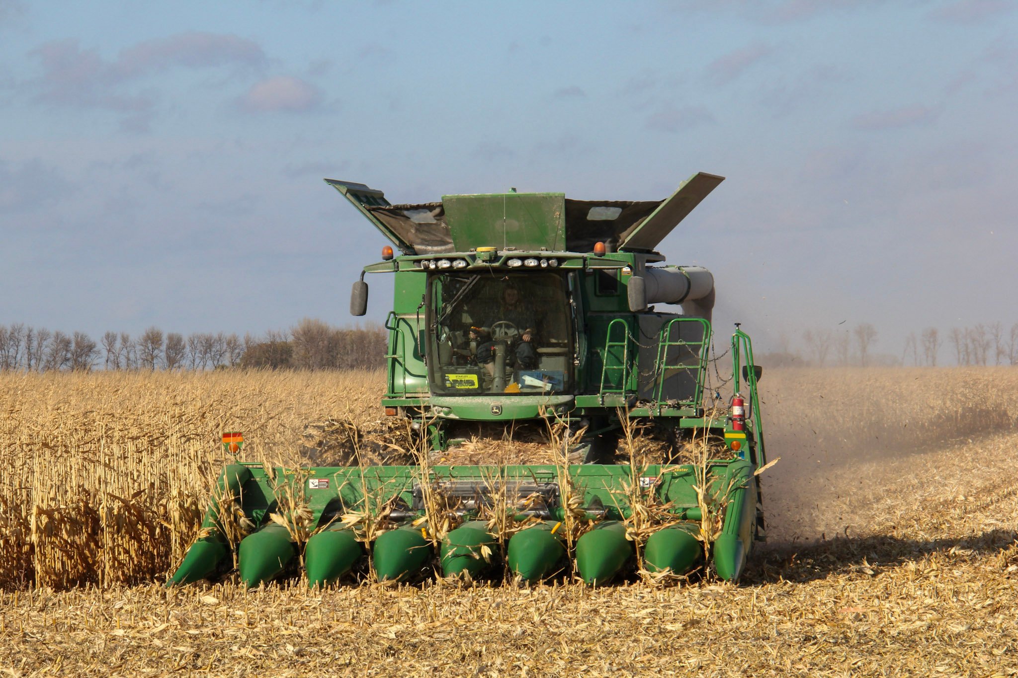
With Alberta’s harvest virtually wrapped up for 2025, provincial Agriculture Minister RJ Sigurdson offered the government’s congratulations to the province’s farmers.
This week, it looks like the weather pattern across the Prairies will settle down a bit as we continue our slow transition from fall to winter.
To start the period, an area of low pressure is moving inland from the Pacific over central B.C., a weakening trough of low pressure lingers east of Manitoba, and a broad ridge of high pressure stretches over Quebec.
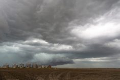
The main weather feature over the coming days will be the Pacific low, which is expected to weaken considerably as it tracks across the central Prairies between Wednesday and Halloween on Friday. While this system doesn’t look particularly strong, it may bring a mix of rain and snow — beginning in Alberta on Wednesday, spreading into Saskatchewan on Thursday, and reaching Manitoba by Friday.
Over the weekend, another low-pressure system is expected to spin off from a larger low anchored over the Gulf of Alaska. This one will track quickly across northern Canada, and its influence will be felt farther south as it pulls in a mild southerly flow ahead of it. This setup should bring a couple of pleasant late-fall days across much of the region.
Early next week, colder air is expected to sweep southward behind a cold front tied to that northern system, but temperatures should stay near or slightly above average for this time of year.
Alberta
A weak low will move inland from the Pacific on Wednesday. Most of its energy will likely fade as it crosses the Rockies, but there’s a chance of a few scattered afternoon showers or evening flurries across north-central regions under a mix of sun and cloud.
Later in the week, as a strong low deepens over the Gulf of Alaska and sends a smaller disturbance northward into the Territories, southerly winds will strengthen across Alberta. This should help boost daytime highs on Friday and Saturday into the low teens, especially over southern areas.
More from Daniel Bezte: Weather factors to watch this winter
By Sunday or Monday, the low moving across northern Canada is expected to deepen, pushing a cold front southward across the Prairies. The front doesn’t appear especially strong but will be enough to pull daytime highs back into the low to mid-single digits.
Confidence in the latter part of the forecast remains on the lower side, but current model runs suggest another weak low could move in from the west by Tuesday or Wednesday. If it develops, it would likely draw another pulse of mild air northward, temporarily lifting temperatures once again before the next cooldown.
Saskatchewan and Manitoba
The week begins on a calmer note as the persistent trough over Manitoba finally weakens and drifts eastward. Expect mostly sunny to partly cloudy skies with daytime highs in the 7 to 10°C range.
On Thursday, a weak low will move eastward out of Alberta, tracking across central Saskatchewan before weakening and sliding into southern Manitoba on Friday. As it does, cloud cover will increase, bringing a chance of scattered showers or overnight flurries across central Saskatchewan on Thursday and early Friday.
As the low moves into southern Manitoba, it should weaken further, bringing only a few light showers or flurries — just enough to make things damp for Halloween evening but not enough to cause real trouble for trick-or-treaters.
By Saturday, a cool high-pressure system will build in from the north, dropping daytime highs into the 3 to 5°C range. This shot of cooler air looks to be short-lived. A strong low passing across northern Canada will pull up a milder flow again on Sunday and Monday, allowing daytime highs to rebound into the 6 to 9°C range, with overnight lows near freezing.
the low passes to the northeast, a return to northwesterly winds will bring another round of cooler air and seasonable late-fall conditions as we move toward midweek.
Overall, the coming week looks fairly typical for late October with a few ups and downs in temperature, the odd chance of showers or flurries, but nothing suggesting an early start to winter just yet.