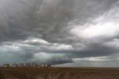
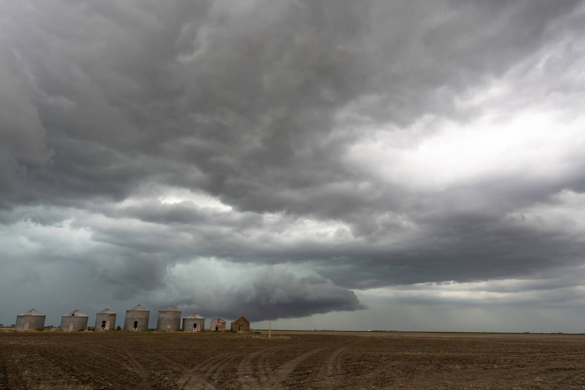
An interesting weather pattern is currently in place across western North America with Tropical Storm Hilary taking an unusual northerly track as it comes in off the Pacific Ocean south of California.
Tropical storms or hurricanes in that region normally do one of two things: they either recurve back out into the Pacific, or move eastward into Mexico. Hilary is tracking due north, into California, and while the mountainous terrain will quickly disrupt and wring out the moisture from this system, it looks like the remains of this system will move into the northern U.S. and southern Prairie provinces over the next couple of days.
Read Also
Prairie forecast: Storm systems bring wintery mix
Several storm systems are setting up across the Prairies with potential for rain, freezing rain and snow. Forecast issued April 15, 2026, covering April 15 to 22, 2026
The remains of Hilary will move northward as a remnant low which will slowly track by just our south over the next three days. The low will bring clouds and scattered showers to southern regions with the best chances for rain on Tuesday and Wednesday. The easterly flow around this low could bring significant rainfalls to far western Alberta. Temperatures in southern Saskatchewan and Manitoba will be mild, with highs expected to be in the mid-20s. Most of Alberta along with central and northern regions of Saskatchewan and Manitoba will be cooler, with highs struggling to break 20 C.
— Daniel Bezte is a teacher by profession with a B.A. (Hon.) in geography, specializing in climatology from the University of Winnipeg. He operates a computerized weather station near Birds Hill Park, Man. Contact him via email with your questions and comments.