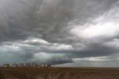
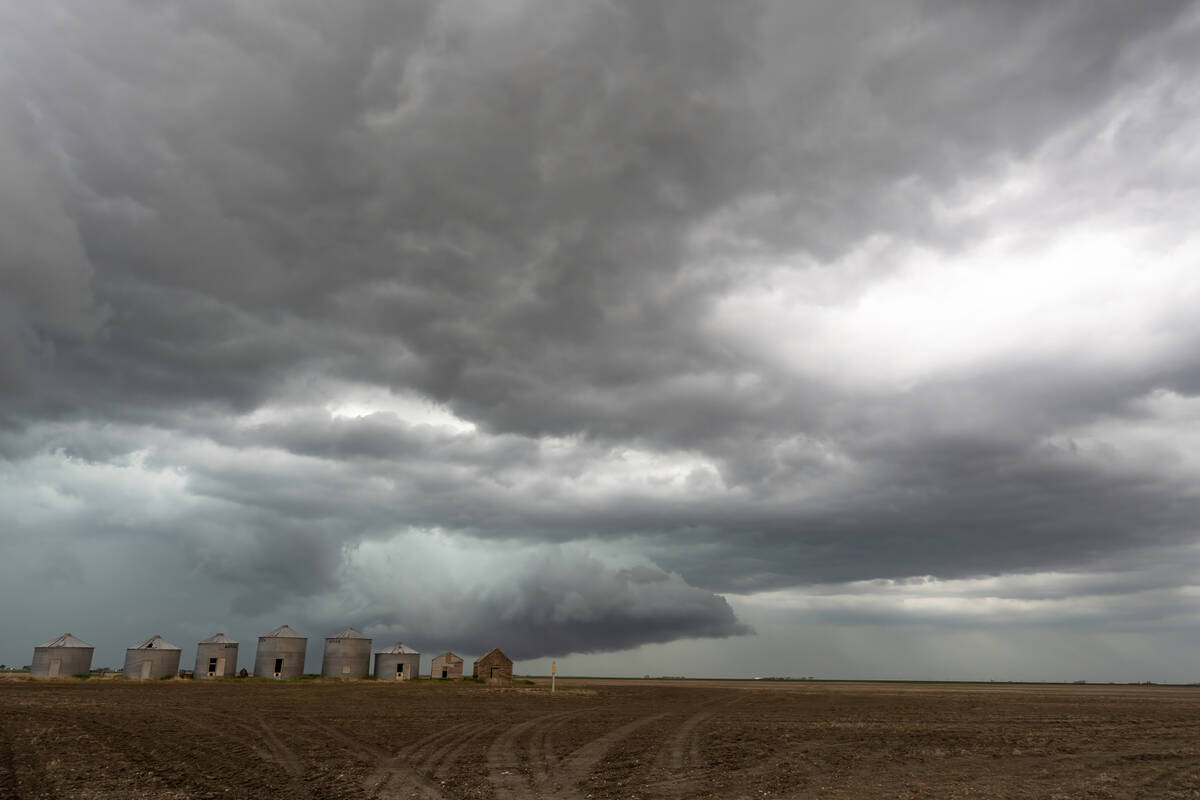
Well, one week is up and as I pointed out in last week’s forecast, the weather pattern still looks like it is going to flip from a cool-ish spring regime right into a summer-like pattern. This flip should happen over the next few days.
We start this forecast period with an area of low pressure tracking across northern Canada and a trailing trough of low pressure sliding through Manitoba. This trough will bring clouds and showers on Wednesday to the eastern half of the Prairies.
Behind the trough, cool Arctic air will push southwards. This will bring below-average temperatures to the northern half of the Prairies and near average temperatures across the south. By Thursday, we’ll begin to see a strong push of warm southerly air develop over the western Prairies. This will push temperatures into the low twenties across much of Alberta. This push of mild air will build into Saskatchewan on Friday and by Saturday across Manitoba.
Read Also
Prairie forecast: Storm systems bring wintery mix
Several storm systems are setting up across the Prairies with potential for rain, freezing rain and snow. Forecast issued April 15, 2026, covering April 15 to 22, 2026
There’s uncertainty around how warm it will get with this push of warm air. The latest model runs are showing highs across Alberta in the mid to upper twenties on Friday and Saturday with similar temperatures expected across Saskatchewan and Manitoba on Saturday and Sunday. There’s a chance of temperatures flirting with the 30-degree mark somewhere across Saskatchewan or Manitoba over the weekend if everything comes together just right.
We’ll likely see a cool down to start next week as another low tracks to the north of the Prairies and drags a cold front eastward. This will bring some unsettled weather and daytime highs in the upper teens to around twenty. The flow across the Prairies should then become southwesterly for the remainder of the week which usually results in warm but unsettled conditions.
Alberta
Wednesday will start with a little bit of instability drifting southwards and exiting southern Alberta. This instability will bring a mix of sun and clouds to southern regions and the chance of a shower over extreme southern regions. Further north, skies should be sunny. Temperatures across most regions will bring the mid-teens for highs. Warm air will begin pushing in from the south on Thursday, pushing high temperatures into the low to mid twenties with mid to even upper twenties highs widespread on Friday and Saturday.
An area of low pressure sliding through northern Canada will drag a cold front across the province sometime on Sunday. This will bring a mix of sun and clouds along with the chance of showers late on Sunday and into Monday. Temperatures will cool into the upper teens to around twenties degree by Monday. The cool down looks to be short lived as a warm southerly flow redevelops by Tuesday pushing daytime highs back into the low to mid twenties.
Saskatchewan and Manitoba
Wednesday will start with a weak system exiting Manitoba and a second weak system sliding southeastwards through Saskatchewan. These systems will bring partly cloudy skies and seasonable temperatures with daytime highs in the 15 to 18 C range. There will be enough instability that the odd shower cannot be ruled out.
All the instability will have moved out of these provinces by Thursday as a strong southerly push of warm air begins to move in. Expect daytime highs on Friday to be in the low twenties across Saskatchewan with the mild air arriving late on Friday or early Saturday across Manitoba.
Over the weekend, the warmest air is forecast to be over these regions pushing daytime highs into the mid to upper twenties with the odd 30 C reading not out of the question. Overnight lows will also be mild with most regions only falling to around the 10 C mark.
By Monday a cold front associated with an area of low pressure sliding by well to our north with bring cloudy to partly cloudy skies along with the chance of some showers. The front will bring cooler conditions with daytime highs forecasted to be in the upper teens to around 20 C. There is a lot of uncertainty at this point in the forecast, but the weather models are hinting at a southwesterly flow developing which will bring warm but unsettled weather for the second half of the week.