There’s been a switch in our weather pattern. The trouble is it’s not settling into predictability.
We saw a strong ridge of high pressure build in last week, which brought daytime highs into the low thirties across parts of the eastern Prairies. Once the ridge collapsed, cooler air moved back in. Well, it looks like we can expect another cycle of building and collapsing ridges. Then, starting on the weekend, the weather pattern should become more energetic thanks to a strong trough of low pressure forecasted to develop off the West Coast.
Read Also
Prairie forecast: Storm systems bring wintery mix
Several storm systems are setting up across the Prairies with potential for rain, freezing rain and snow. Forecast issued April 15, 2026, covering April 15 to 22, 2026
Due to the nature of this forecast I am not going to break it down in the usual regions. Rather, I’ll try to describe the big picture across the Prairies.
This forecast period will start with a building ridge of high pressure over Alberta on Wednesday. This will bring warm temperatures to this region. This ridge will quickly push eastwards to bring warm temperatures to Saskatchewan and Manitoba on Thursday.
As the ridge slides eastward, an area of low pressure is forecasted to push in behind the ridge. This will bring clouds and showers to the northern half of the Prairies and cooler temperatures to most regions on Friday.
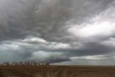
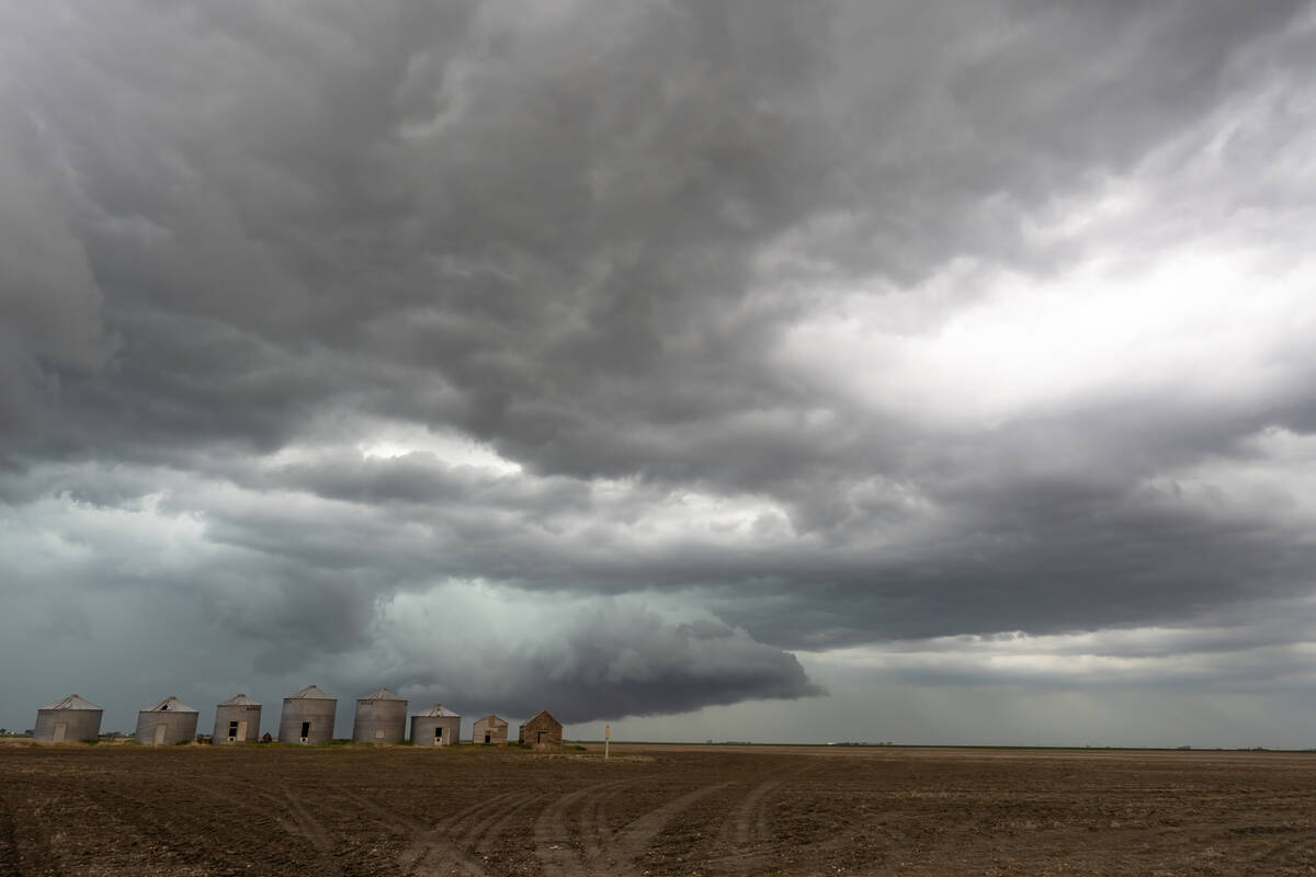
Over the weekend is where things get interesting and tricky. A deep trough of low pressure is forecasted to develop off the West Coast. This will help develop a large area of low pressure over the western U.S.
The weather models have been consistent in developing this feature but have been all over the place on how and when this energy will move. The latest model runs shows the main low breaking into a series of lows that will eject northeastwards every couple of days.
Confidence is low in the timing and placement of these lows, but here is the general idea. The first piece of energy is expected to push through southern Saskatchewan and Manitoba on Saturday night. This will bring some clouds and the odd shower or thundershower. A second stronger low should push northwards into southern Saskatchewan late on Sunday. This will bring clouds and a chance of showers and thundershowers to most of southern and central Saskatchewan and central Manitoba.
The counterclockwise rotation of warm and relatively humid air around this low will bring easterly winds to Alberta, which will help to initiate showers and/or periods of rain to much of western Alberta.
This system will lift to the northeast and weaken — only to be replaced by another area of low pressure lifting northwards into southern Saskatchewan on Tuesday. Once again southern and central Saskatchewan will see a good chance of showers and thundershowers. Central Alberta will see widespread showers and periods of rain over southern. Manitoba looks to miss out on most of the precipitation from these lows, but the odd shower or thunderstorm can’t be ruled out.
Temperatures over the weekend and into the following week are going to be interesting. Very warm air is forecasted to be pumped northwards ahead of each low into Manitoba. Depending on cloud cover, daytime highs could be in the low thirties from Sunday to Tuesday, but that could change should the low track further east.
Across Saskatchewan, daytime highs will be highly depending on the track the lows, cloud cover, and amount of rain. Eastern regions will see highs in the mid to upper twenties. Western regions will be in the low twenties. Alberta will see the coolest temperatures with daytime highs forecasted to be in the upper teens to low twenties — cooler if widespread steady rains develop.
Looking further ahead towards the long weekend, the the final area of low pressure from the West Coast trough is expected to lift northeastwards on Thursday and Friday. This far out, the exact track of this low is uncertain. It looks like weak ridging will build across the Prairies over the long weekend. This would bring sunny to partly cloudy skies and highs forecasted to be in the low twenties. Stay tuned next week for the updated long weekend forecast.