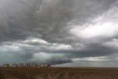
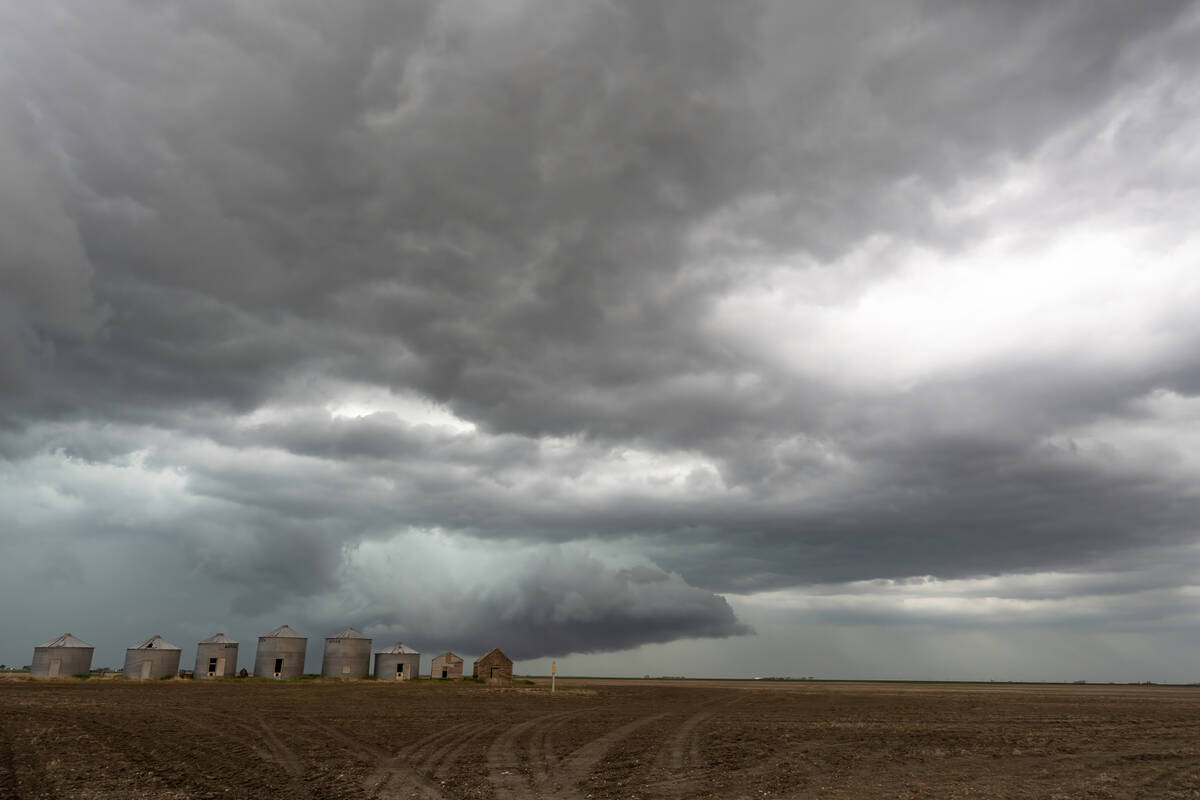
The weather models predicted that last week would be cold, but the perfect convergence of weather events brought some extreme cold to parts of all three Prairie provinces. Saskatchewan, especially, saw the brunt of the cold. Several locations reported overnight lows in the -40’s C.
What happened was the remnant of the polar vortex rotated southwestward into southern Saskatchewan. The cold low aloft combined with cold surface high pressure and just sat in place for several days. This allowed for plenty of radiative cooling which resulted in the extreme cold temperatures.
Read Also
Prairie forecast: Storm systems bring wintery mix
Several storm systems are setting up across the Prairies with potential for rain, freezing rain and snow. Forecast issued April 15, 2026, covering April 15 to 22, 2026
For this forecast period, as predicted a week ago, we’re finally going to see an end to this long cold snap. The polar vortex is weakening and is forecasted to move off to the east. This will allow for a strong push of mild Pacific air to flood across the Prairies. It should bring temperatures above freezing to Alberta beginning early in the forecast period. Near to above freezing temperatures should move into Saskatchewan and Manitoba over the weekend.
We start this forecast period with cold high pressure sitting over southern Saskatchewan. This will be slowly weakening and moving off to the southeast. The clockwise flow around this departing high, combined with an area of low pressure off the B.C. coast, will create westerly winds across the Prairies. This will bring an end to our cold snap.
Late in the weekend, energy from the Pacific low is forecasted to push into northern Alberta and then track southeast into northwestern Ontario by Monday. Areas to the south of this low will see mild temperatures while those to the north will see some light snow and will be a little cooler. It doesn’t look like there’ll be a push of cold air behind this low as the flow looks to remain westerly. This will bring a continuation of mild temperatures. Little in the way of precipitation expected.
I would love to say that this will be the beginning of an early spring, and while it could be, the weather models are showing a return to colder temperatures during the first week of March.
Alberta
The mild weather will begin to move into this region on Wednesday with highs over western region rebounding to around the freezing mark. All regions will have warmed by Thursday with daytime highs expected to be in the 6 to 10 C mark over southern regions and in the 2 to 5 C range over central and northern regions. Overnight lows look to be in the -5 to -10 C range. Just how cold it gets will depending on cloud cover and ground conditions.
On Sunday, an area of low pressure is forecasted to form over northern Alberta. This will bring clouds and some light snow or showers over night Saturday and into Sunday. A second weak disturbance may bring the odd flurry or shower to extreme southern regions on Monday, but little in the way of precipitation is expected. For the first half of next week, spring-like conditions are expected as the flow remains westerly.
Saskatchewan and Manitoba
Saskatchewan will have to endure another day or two of cold temperatures before the cold-bringing high finally moves off and warmer air begins to invade the province. Expect temperatures to begin warming overnight Wednesday and continue to warm through to the weekend. Expect daytime highs to be around zero by Saturday with overnight lows falling to around -5 C. Manitoba will see the same warming trend beginning on Thursday with highs pushing the freezing mark by Saturday or Sunday.
The northern Alberta low is forecasted to track towards Lake of the Woods by Monday morning. This low will bring clouds to the central and northern Saskatchewan late on Saturday and through the day Sunday. Expect light snow north of Saskatoon and the chance of some showers on the southern edge of the precipitation. Daytime highs will likely be in the 2 to 4 C range as warm is pulled northwards into the low.
This same low will impact central Manitoba and the northern half of southern Manitoba on Sunday with light snow over central regions and flurries possibly mixed with showers over southern regions. The low is forecast to move fairly quickly, but some regions over central and eastern Manitoba may see a quick 2 to 5 cm of snow from this low.
As with Alberta, it doesn’t appear that there will be much of a cool down behind the low. Daytime highs next week are forecasted to be in the 0 to -4 C range with overnight lows falling to around -10 C.
As I pointed out at the beginning of this forecast, the weather models are hinting at colder temperatures returning late next week, but as I always say, that is a long way off. Plenty can happen between now and then.
— Daniel Bezte is a teacher by profession with a B.A. (Hon.) in geography, specializing in climatology from the University of Winnipeg. He operates a computerized weather station near Birds Hill Park, Man. Contact him via email with your questions and comments.