It looks like the overall weather pattern is going to undergo another shift. After nearly two weeks of unseasonably cool and unsettled weather over the eastern half of the Prairies, with near-average conditions over the west, it looks like more typically summer weather will move back in.
The massive area of low pressure that spun up over Hudson Bay and then meandered around for a week before eventually diving off to the southeast, is finally weakening and moving out of the region. In it place will be a building ridge of high pressure. The big question is just how strong will the ridge be, and how far north will it build?
Read Also
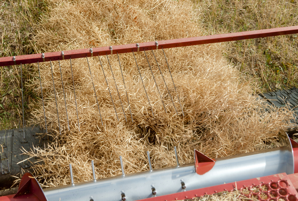
Alberta harvest wrapping up: report
Harvest operations advanced to 96 per cent complete in Alberta as of Oct. 7, with only a few late-seeded cereal and canola fields remaining, according to the latest provincial crop report.
Current indications are that the ridge will not be that strong and will only build northward into the southern half of the Prairies, but if recent global heatwaves are any indication, we might need to keep an eye on this. However the ridge does evolve, the forecast looks pretty short and to the point: warm and relatively dry, which for some regions is not good news.
Alberta
Alberta’s forecast is a little messy. As the ridge of high pressure builds, it looks like southern regions will see clear skies along with warm to hot temperatures. Daytime highs in this region will likely be in the upper 20s to low 30s with mid-30s not out of the question. Further north, over central and northern regions, temperatures will be a little cooler with daytime highs in the mid-20s.
This is where the messy part is. An area of low pressure sitting off the coast of B.C. will spin off bits of energy that will then ride up over the building ridge of high pressure. As these bits of energy move through the central and northern regions, they will help to kick off showers, thundershowers and, depending on the time of day, thunderstorms. The exact timing of these features is tough to nail down, but let’s just say any day could see these developments.
Saskatchewan
This region looks to be the centre of the building ridge, which means, just like Alberta, southern regions will see mostly clear skies and warm to hot temperatures. Daytime highs will most likely be pushing into the low 30s by the weekend with mid- to even upper 30s by July 24. Further north, the same disturbances pushing into Alberta and then riding over the ridge will also bring the chance of showers, thundershowers and thunderstorms. These features will be a little more scattered as the energy driving them slowly dissipates as they travel eastward. Best chance for storms looks to be early in the week of July 24.
Manitoba
Manitoba will be furthest away from the building ridge, which means warm temperatures, but the chance of really hot conditions is more remote. Expect daytime highs in the upper 20s to maybe the low 30s, with sunny to partly cloudy skies. With the return of heat and some humidity, this region can expect a few afternoon thundershowers with maybe the odd thunderstorm. The warmest weather and best chances for thunderstorms look to be on July 24 or 25 as a disturbance tracks eastward through the central Prairies.
— Daniel Bezte is a teacher by profession with a B.A. (Hon.) in geography, specializing in climatology from the University of Winnipeg. He operates a computerized weather station near Birds Hill Park, Man. Contact him via email with your questions and comments.


